
LiDAR

LiDAR Ground Filtering Comparison

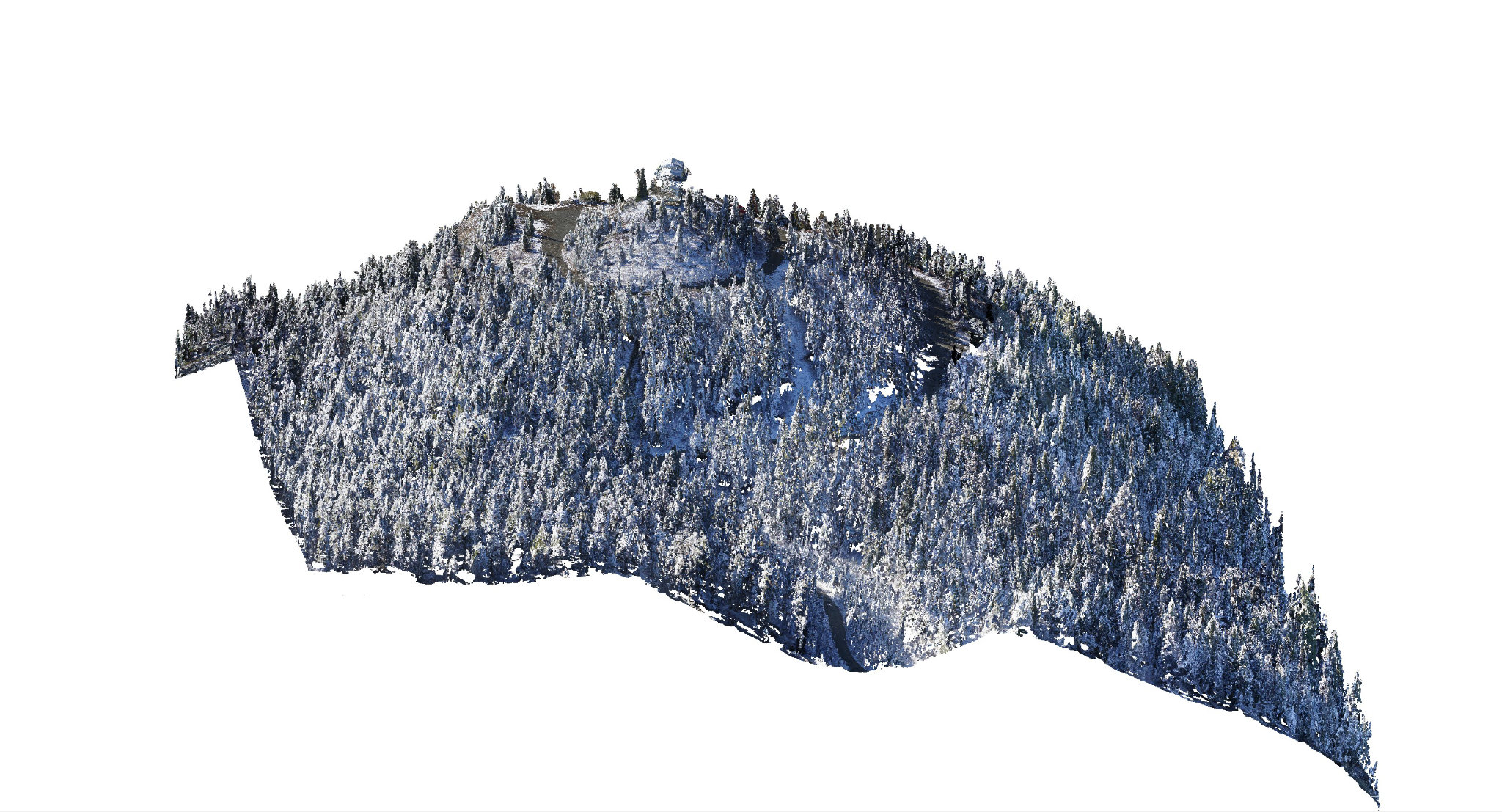
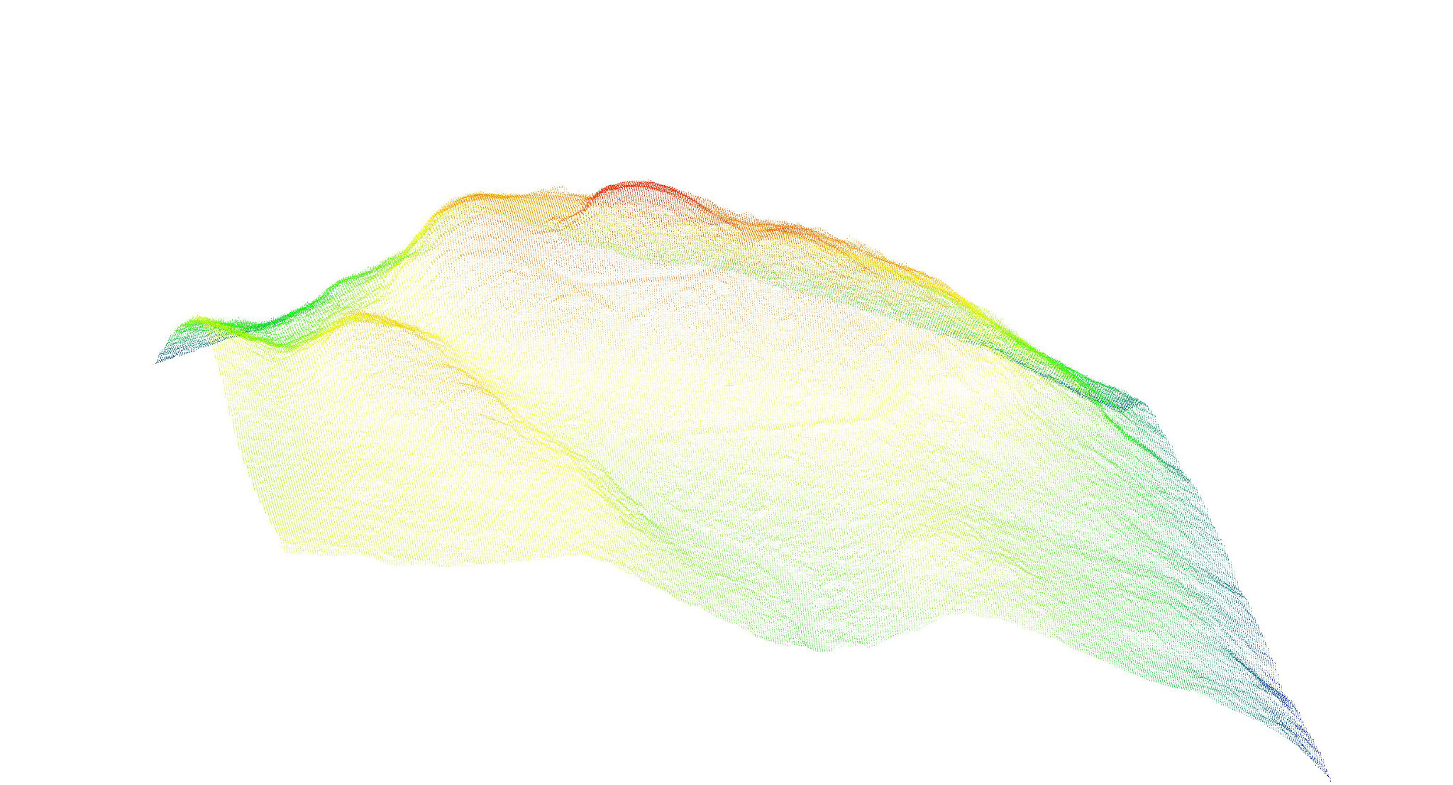
Image on the left is all data collected, and the image on the right is filtered out ground data.
[slide arrow left to right to view more]

What People Are Saying

We have been working with Harrier Aerial Surveys for the past six years on wildlife and habitat projects and Peter and his crew are always a pleasure to work with. They are very professional and have been keeping up with the rapid changes in the field of unmanned aerial vehicles. With their GIS experience and top-notch equipment, they are able to deliver the desired products every time!

Marc-Andre Beaucher, M.Sc., RPBioHead of Conservation Programs, Creston Valley Wildlife Management Area

Get To Know Us

Detail.... Like Nothing You've Ever Seen. Call Us Today & Experience Harrier

Call Us Now